"Enter" oder "ESC" drücken um die Eingabe zu beenden
DE
English
Home
Ortsverzeichnis
Ferencszállás
Ференцсалаш
Schreibvarianten
Pfarramt
Quellangaben
Ferencsz%C3%A1ll%C3%A1s - Wikipedia, the free encyclopedia (english)
Ferencszállás, Csongrád - Wikipedia, enciclopedia liberă (română)
Ferencszállás - Wikipédiában, Ezt az enciklopédiát (magyar)
Ferencszállás
Ференцсалаш
Map
Struktur und Verwaltung
Staat:
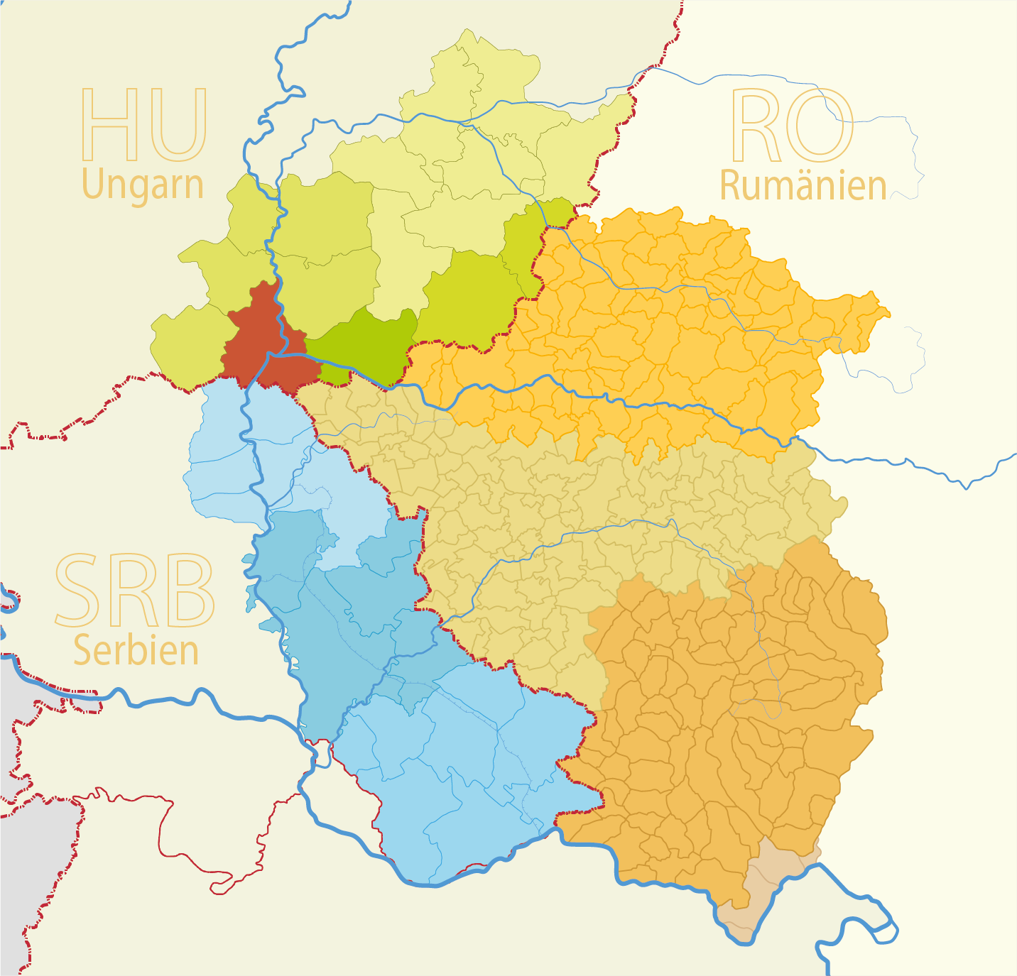
Ungarn
Region:
Südliche Große Tiefebene (Dél-Alföld)
Kreis:
Csongrád-Csanád
Gemeinde:
Gemeindeart:
Dorf
PLZ:
6774
Basisdaten
Koordinaten:
46° 13' 98" N
20° 21' 99" O
Höhe:
78 m
Fläche:
5.79 m²
Einwohner:
640
(2011)
(2002)
erste Erwähnung:
1828
Karten