"Enter" oder "ESC" drücken um die Eingabe zu beenden
DE
English
Home
Ortsverzeichnis
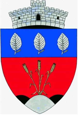
Lăpușnicel
Kislaposnok
Schreibvarianten
Pfarramt
Quellangaben
L%C4%83pu%C8%99nicel - Wikipedia, Die freie Enzyklopädie (deutsch)
L%C4%83pu%C8%99nicel - Wikipedia, the free encyclopedia (english)
Kislaposnok - Wikipédiában, Ezt az enciklopédiát (magyar)
Lăpușnicel, Lăpușnicel - Wikipediju, slobodnu enciklopediju (srpskohrvatsko)
Лапушничел (Караш-Северин) - Wikipediju, слободну енциклопедију
Lăpușnicel
Kislaposnok
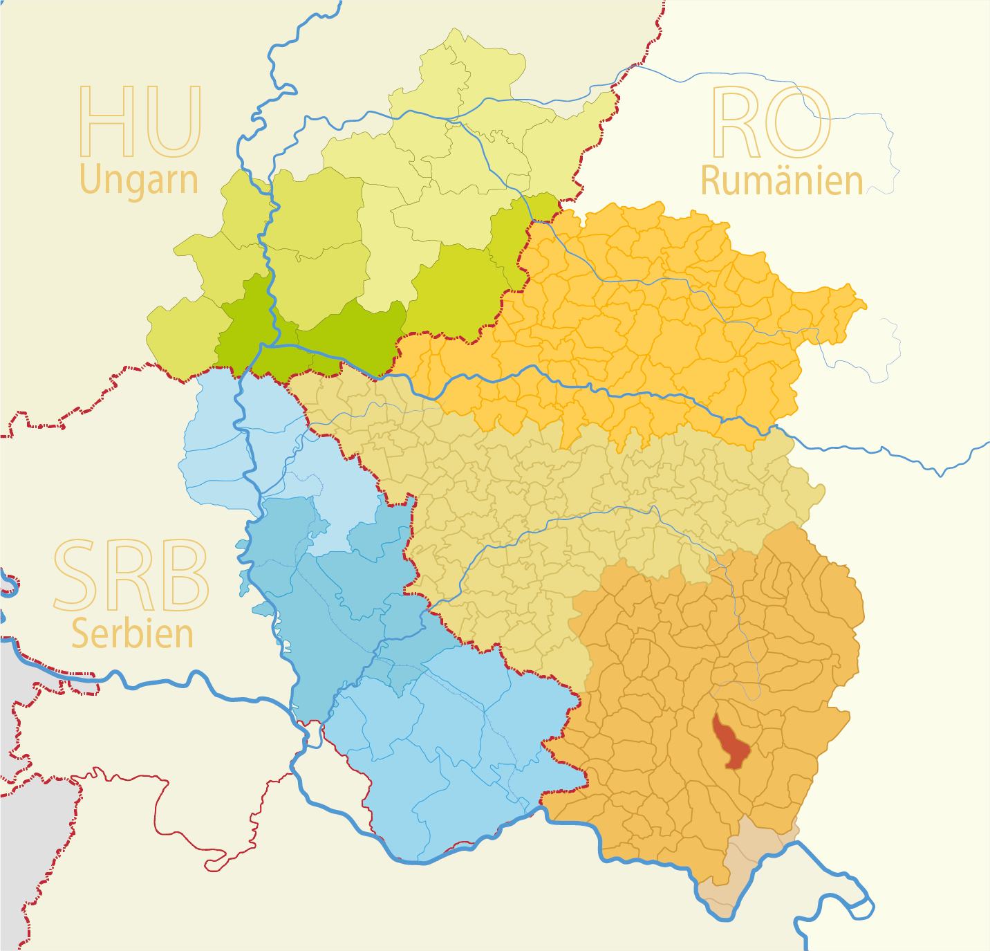
Map
Struktur und Verwaltung
Staat:
Rumänien
Region:
Banat
Kreis:
Caraș-Severin
Gemeindeart:
Dorf
PLZ:
327240
Basisdaten
Koordinaten:
44° 59' 99" N
22° 13' 40" O
Höhe:
388 m
Fläche:
27.08 m²
Einwohner:
503
(2011)
610
(2002)
erste Erwähnung:
1603
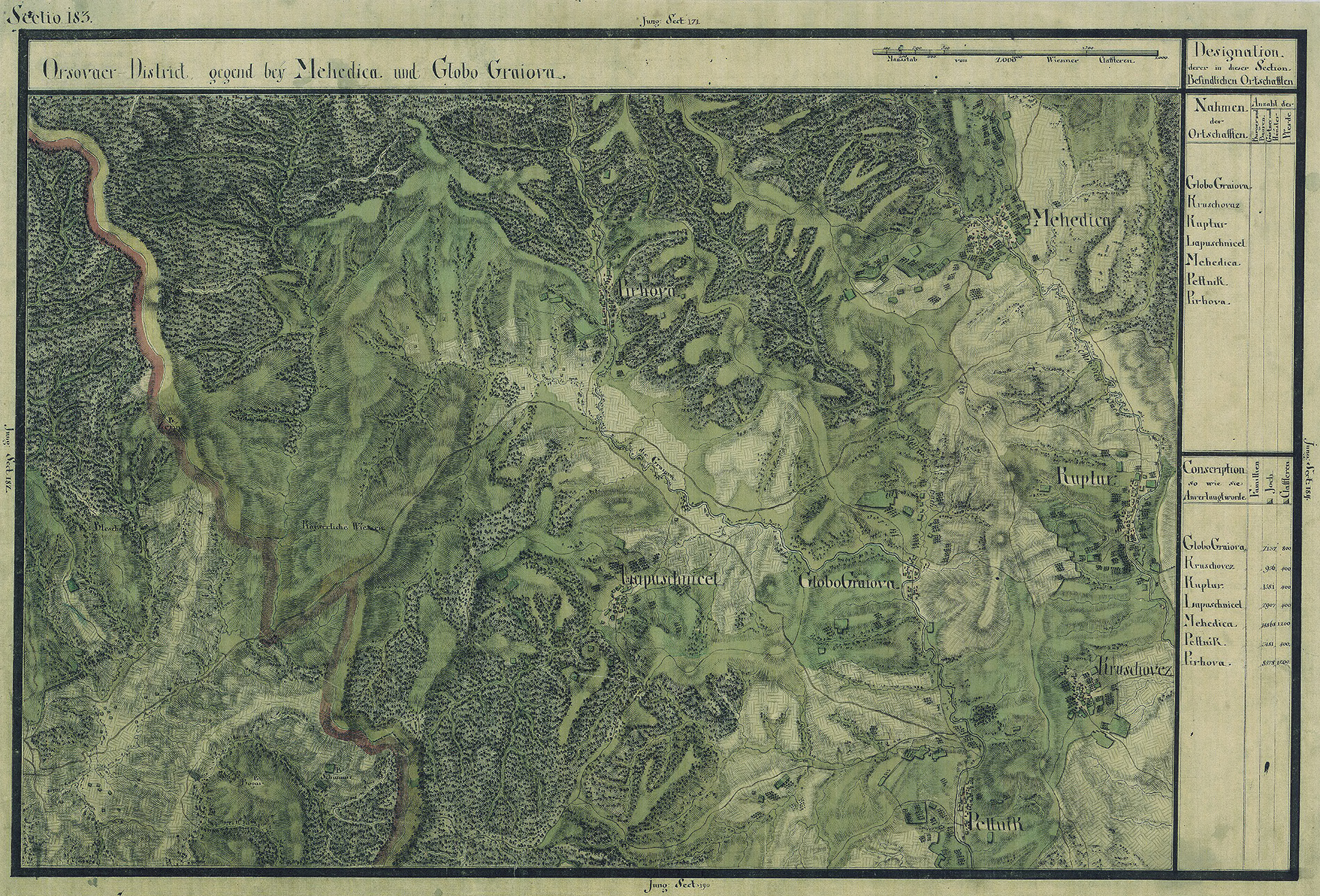
Karten
Quelle Wikipedia:
Josephinische Landesaufnahme Banat (1769–1772) Karte: pg183