Start typing & press "Enter" or "ESC" to close
EN
Deutsch
Home
Ortsverzeichnis
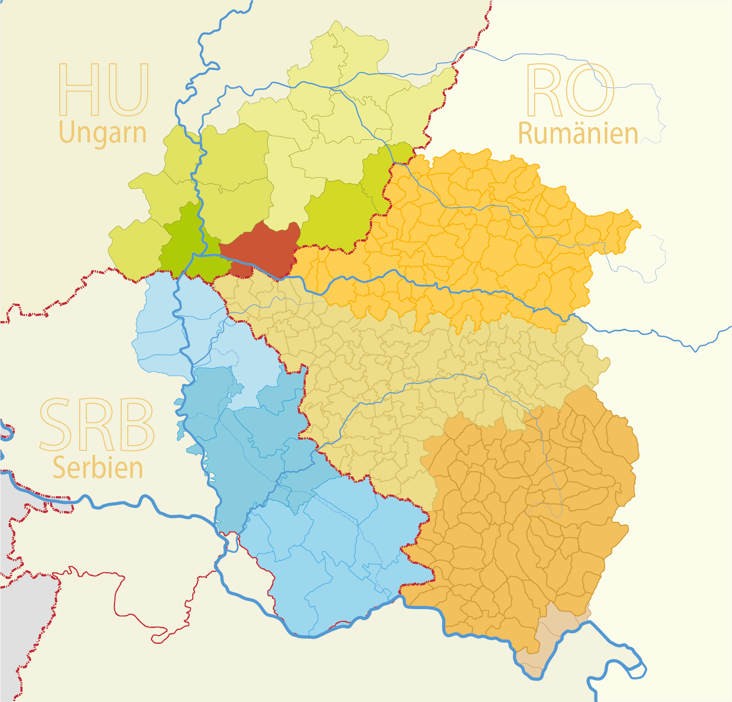
Királyhegyes
Spelling variants
Parochie
Sources
Kir%C3%A1lyhegyes - Wikipedia, the free encyclopedia (english)
Királyhegyes - Wikipédiában, Ezt az enciklopédiát (magyar)
Királyhegyes
Map
Structure and administration
Country:
Hungary
County:
Südliche Große Tiefebene (Dél-Alföld)
District:
Csongrád-Csanád
Municipality:
Type of settlement:
Dorf
Postal code:
6911
Basic data
Coordinates:
46° 16' 12" N
20° 36' 42" O
Above sea level:
85 m
Area:
29.8 m²
Population:
662
(2011)
(2002)
first Dokumentation:
1455
Maps