Start typing & press "Enter" or "ESC" to close
EN
Deutsch
Home
Ortsverzeichnis
Kaszaper
Spelling variants
Parochie
Sources
Kaszaper - Wikipedia, the free encyclopedia (english)
Kaszaper - Wikipedia, enciclopedia liberă (română)
Kaszaper - Wikipédiában, Ezt az enciklopédiát (magyar)
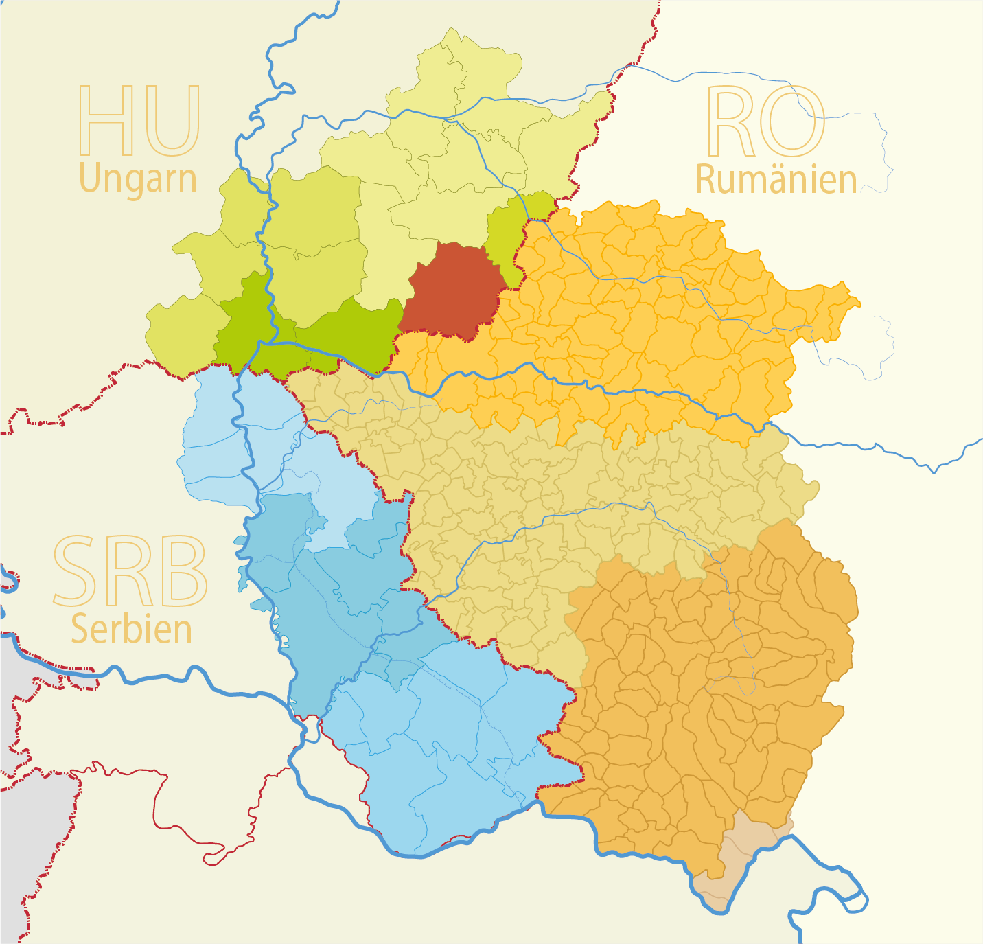
Kaszaper
Map
Structure and administration
Country:
Hungary
County:
Südliche Große Tiefebene (Dél-Alföld)
District:
Csongrád-Csanád
Municipality:
Type of settlement:
Dorf
Postal code:
5948
Basic data
Coordinates:
46° 27' 59" N
20° 49' 58" O
Above sea level:
91 m
Area:
33.57 m²
Population:
2056
(2011)
(2002)
first Dokumentation:
Maps