Start typing & press "Enter" or "ESC" to close
EN
Deutsch
Home
Ortsverzeichnis
Iermata Neagră
Feketegyarmat
Spelling variants
Parochie
Sources
Iermata Neagră, Arad - Wikipedia, enciclopedia liberă (română)
Feketegyarmat - Wikipédiában, Ezt az enciklopédiát (magyar)
Iermata Neagră, Zerind - Wikipediju, slobodnu enciklopediju (srpskohrvatsko)
Јермата Њагра (Арад) - Wikipediju, слободну енциклопедију
Iermata Neagră
Feketegyarmat
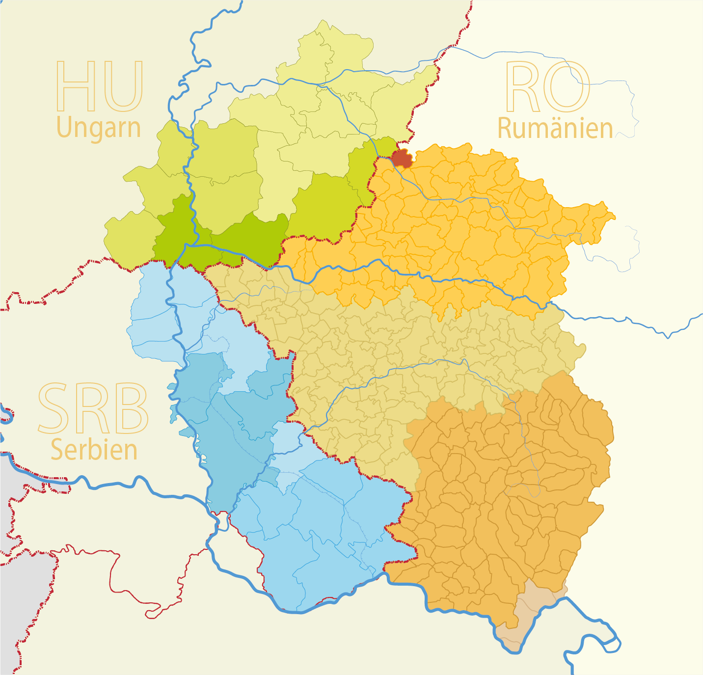
Map
Structure and administration
Country:
Romania
County:
Kreischgebiet
District:
Arad
Municipality:
Type of settlement:
Dorf
Postal code:
317421
Basic data
Coordinates:
46° 38' 15" N
21° 30' 11" O
Above sea level:
86 m
Area:
m²
Population:
491
(2011)
568
(2002)
first Dokumentation:
1241
Maps
Quelle Wikipedia:
Josephinische Landesaufnahme Banat (1769–1772) Karte: Arad_Jos